Past Projects
Large Scale 3D Model
Objective:
Evaluate regional geologic trends using highly accurate 3D model.
Scanning Time: Approximately 3 days.
Processing Time: Less than 50 hours.
Results:
Survey grade, 117 hectare 3D outcrop model later used to make accurate structural interpretations.
High Resolution 3D Model
Objective:
Evaluate regional geologic interpretations for strike and dip using a 3D Model created using a UAV solution.
Scanning Time: Approximately 2 hours.
Processing Time: Less than 30 hours.
Results:
860,000,000 points in 3D space to create a survey grade outcrop model used to make accurate geologic interpretations.
Aggregate Volumetric Analysis
Objective:
Client needed to quantify the volume of aggregate piles to prepare accurate estimates for shipment and revenue calculations.
Scanning Time: Approximately 1 hour.
Processing Time: Less than 5 hours.
Results:
Client employs Maverick UAV Solutions to complete ongoing quarterly volumetric assessments.
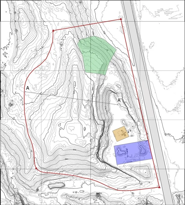
Topographic Map
Objective:
Client needed to create a topographic map of an area for mine permitting.
Scanning Time: Approximately 5 hours.
Processing Time: Less than 20 hours.
Results:
Client employs Maverick UAV Solutions to create a topographic map covering 15 hectares, by using a UAV, client saved 70% compared to conventional costs


